


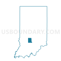
BLOOMINGTON 10, Monroe County, Indiana
About
Outline

Summary
| Unique Area Identifier | 579765 |
| Name | BLOOMINGTON 10 |
| County | Monroe County |
| State | Indiana |
| Area (square miles) | 0.32 |
| Land Area (square miles) | 0.32 |
| Water Area (square miles) | 0.00 |
| % of Land Area | 100.00 |
| % of Water Area | 0.00 |
| Latitude of the Internal Point | 39.16931900 |
| Longtitude of the Internal Point | -86.47563280 |
Maps


Graphs
Select a template below for downloading or customizing gragh for BLOOMINGTON 10, Monroe County, Indiana


Neighbors
Neighoring Voting District (by Name) Neighboring Voting District on the Map
- BLOOMINGTON 08, Monroe County, IN
- BLOOMINGTON 09, Monroe County, IN
- BLOOMINGTON 11, Monroe County, IN
- PERRY 21, Monroe County, IN
- PERRY 22, Monroe County, IN